Maps of Westward Ho!

- 1809 *

- 1887

- 1905

- 1938
*1809 map – extract only, view the full map <here>. This work is based on data provided through www.VisionofBritain.org.uk and uses historical material which is copyright of the Great Britain Historical GIS Project and the University of Portsmouth
Buildings of interest:
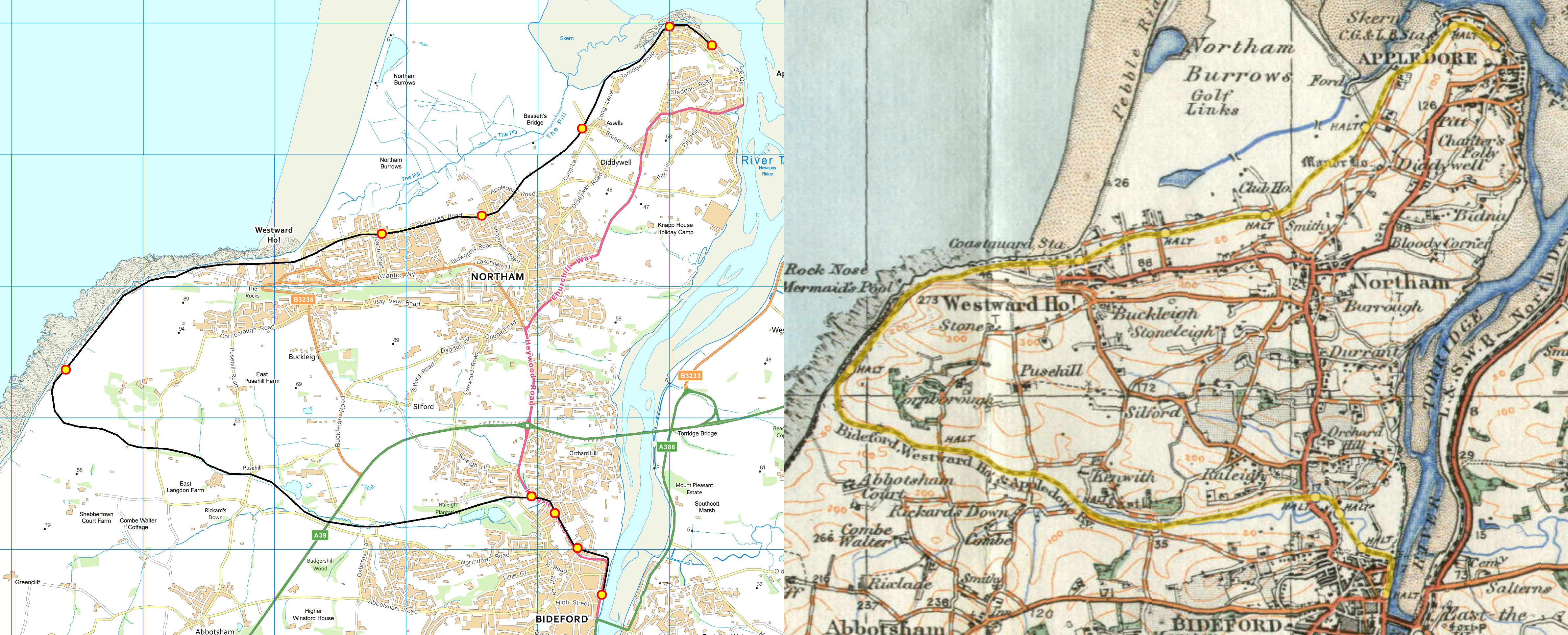
The route the railway took:
The Google map, above, is based on the Ordnance Survey of the area [below], with the original map shown on the right. If you have more accurate information please contact us.